Log in
All resources
Create a design
2,080 Free Images of Maps With Cartouches
bibliothèque nationale de france
maps by willem and johannes blaeu
a map of the british empire in america with the french and spanish settlements adjacent thereto
prints of cartouches in the rijksmuseum amsterdam
maps in the rijksmuseum amsterdam
guillaume sanson
maps by alexis-hubert jaillot
mapa del principado de cataluña (1776)
maps of spain by tomas lopez
maps by thomas kitchin
old maps of the republic of genoa
maps by alexis-hubert jaillot
map of the circle of the rhineland by sanson
1670s maps of rhineland-palatinate
maps of hunsrück
jean hardy
old maps of the republic of genoa
maps by alexis-hubert jaillot
maps by willem and johannes blaeu
details of old maps
maps by willem and johannes blaeu
1635 maps of ukraine
uncategorized images of the rijksmuseum
cartouche (cartography)
historical
history
historical
history
prints by iven besoet in the rijksmuseum amsterdam
maps in the rijksmuseum amsterdam
17th-century maps of carmarthenshire
17th-century maps of pembrokeshire
maps and topographical views by joris hoefnagel
1580s maps of spain
mapa del principado de cataluña (1776)
maps of spain by tomas lopez
map of italy by guillaume delisle (1700)
bibliothèque nationale de france
maps by willem and johannes blaeu
old maps of quercy
1680s maps of rhineland-palatinate
maps of vangiones by sanson
mapa del principado de cataluña (1776)
maps of spain by tomas lopez
mapa del principado de cataluña (1776)
maps of spain by tomas lopez
old maps of whole wales (alone)
1670s maps of wales
mapa del principado de cataluña (1776)
maps of spain by tomas lopez
17th-century maps of transylvania
maps by willem and johannes blaeu
maps by willem and johannes blaeu
17th-century maps of xaintonge
bibliothèque nationale de france
guillaume sanson
1670s maps of the iberian peninsula
georg widmann
bibliothèque nationale de france
guillaume sanson
andalusia in the 1590s
1590s maps of spain
maps by willem and johannes blaeu
maps of the duchy of montferrat
maps of ancient italy by philipp clüver
old maps of marche
a map of the british empire in america with the french and spanish settlements adjacent thereto
bibliothèque nationale de france
a map of the british empire in america with the french and spanish settlements adjacent thereto
bibliothèque nationale de france
arnold van langren map of east africa
bibliothèque nationale de france
maps of haarlem by braun & hogenberg
bibliothèque nationale de france
a map of the british empire in america with the french and spanish settlements adjacent thereto
bibliothèque nationale de france
a map of the british empire in america with the french and spanish settlements adjacent thereto
bibliothèque nationale de france
a map of the british empire in america with the french and spanish settlements adjacent thereto
bibliothèque nationale de france
a map of the british empire in america with the french and spanish settlements adjacent thereto
bibliothèque nationale de france
maps of schwäbisch hall by braun & hogenberg
bibliothèque nationale de france
a map of the british empire in america with the french and spanish settlements adjacent thereto
bibliothèque nationale de france
maps by willem and johannes blaeu
17th-century maps of dombes
maps of formia by braun & hogenberg
bibliothèque nationale de france
maps of halberstadt by braun & hogenberg
maps of quedlinburg by braun & hogenberg
maps of the principality of erbach
maps by pieter van der keere
a map of the british empire in america with the french and spanish settlements adjacent thereto
bibliothèque nationale de france
a map of the british empire in america with the french and spanish settlements adjacent thereto
bibliothèque nationale de france
a map of the british empire in america with the french and spanish settlements adjacent thereto
bibliothèque nationale de france
a map of the british empire in america with the french and spanish settlements adjacent thereto
bibliothèque nationale de france
a map of the british empire in america with the french and spanish settlements adjacent thereto
bibliothèque nationale de france
a map of the british empire in america with the french and spanish settlements adjacent thereto
bibliothèque nationale de france
a map of the british empire in america with the french and spanish settlements adjacent thereto
bibliothèque nationale de france
a map of the british empire in america with the french and spanish settlements adjacent thereto
bibliothèque nationale de france
a map of the british empire in america with the french and spanish settlements adjacent thereto
bibliothèque nationale de france
context files from gallica
pieter van der keere
prints of cartouches in the rijksmuseum amsterdam
maps in the rijksmuseum amsterdam
old maps of southeast asia
maps by gerard valck
old maps of norway
guillaume sanson
maps by nicolas sanson
red ruthenia
old maps of the tribes of israel
old maps of ancient israel
magni ducatus lithuaniae
maps facing west
maps of brazil by hendrik hondius
bibliothèque nationale de france
maps by willem and johannes blaeu
1635 maps
1794 maps of the holy roman empire
english-language maps of europe
françois de la pointe
maps of barbary coast
old maps of the strait of gibraltar
hendrik de leth
maps by willem and johannes blaeu
old maps of quercy
1690s maps of rhineland-palatinate
maps of east palatinate by sanson
map of the circle of bavaria by sanson
bibliothèque nationale de france
plan de paris levé par les ordres du roy, 1900
proletarian literature
maps by alexis-hubert jaillot
sanson maps of the holy land
maps by willem and johannes blaeu
beausse
16th-century maps of crete
old maps of candia
old maps of the kingdom of naples
1700s maps of italy
uncategorized images of the rijksmuseum
maps of liège by baptista van doetecum
maps in the library of congress
old maps of hungary
baptista van doetecum
jacques surhon
maps by willem and johannes blaeu
old maps of malta
le royaume de france distingué by guillaume sanson
maps by nicolas sanson
map of the upper rhenian circle by sanson
1700s maps of north rhine-westphalia
maps of vienne by braun & hogenberg
maps of lyon by braun & hogenberg
1667 sanson map of africa
1702 maps of africa
arnold van langren map of southwest africa
1596 maps of africa
maps of dordrecht by braun & hogenberg
bibliothèque nationale de france
maps by willem and johannes blaeu
17th-century maps of abruzzo
19th-century maps of the malay archipelago
19th-century maps of southeast asia
bibliothèque nationale de france
sanson maps of the holy land
maps by willem and johannes blaeu
old maps of berry
maps of brazil by hendrik hondius
bibliothèque nationale de france
maps of brazil by hendrik hondius
bibliothèque nationale de france
map of the bosphorus strait by guillaume sanson (1665)
bibliothèque nationale de france
maps of moers by johannes mercator
bibliothèque nationale de france
maps of lyon by braun & hogenberg
bibliothèque nationale de france
maps of moers by johannes mercator
bibliothèque nationale de france
historical
history
17th-century maps of the spanish empire
maps of the spanish netherlands
1780s maps of the americas
1786 maps
1740s maps of the world
maps by emanuel bowen
an accurate map of england and wales , drawn from all the particular surveys hitherto publish'd. illustrated with many additional improvements, and regulated by numerous astronomical observations made by... - btv1b53181614s
maps by thomas kitchin
maps of the county of mark
guillaume sanson
an accurate map of england and wales , drawn from all the particular surveys hitherto publish'd. illustrated with many additional improvements, and regulated by numerous astronomical observations made by... - btv1b53181614s
maps by thomas kitchin
old maps of northumberland
maps by thomas kitchin
lawrence h. slaughter collection of english maps, charts, globes, books and atlases
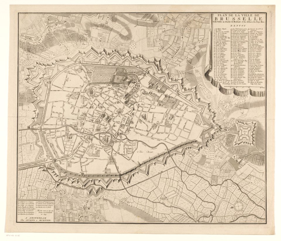
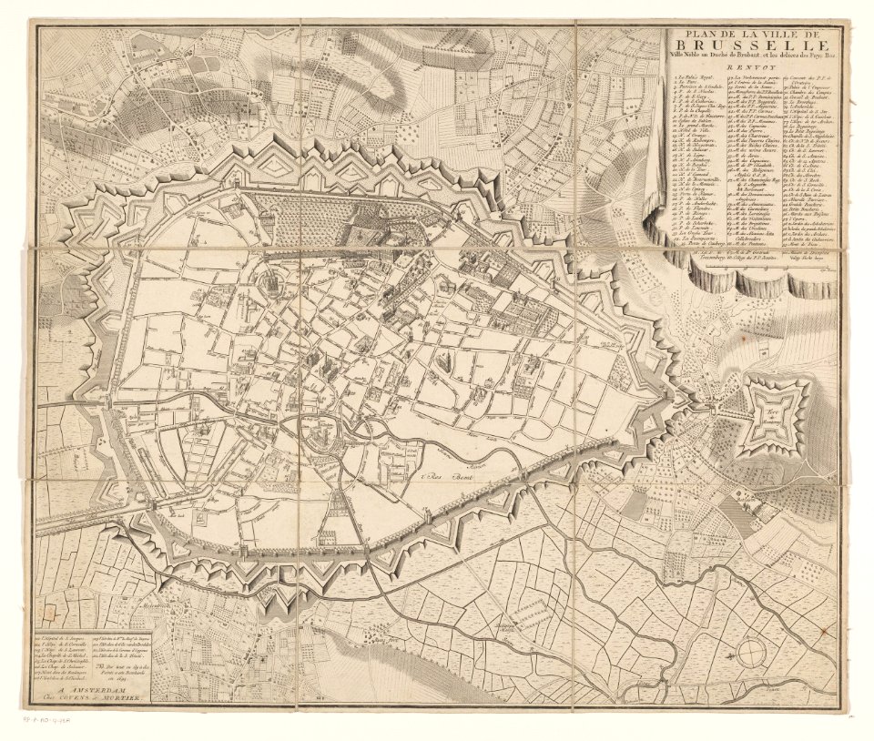
covens en mortier
1001 - 1100 of 2,080
Next page
/ 21


![Carpetaniae partis descr. / [Georgius Hoefnaglius], Joris Hoefnagel, 1584](https://cdn.creazilla.com/illustrations/10000765930/carpetaniae-partis-descr-georgius-hoefnaglius-joris-hoefnagel-1584-md.jpg)


![Wallia principatus vulgo Wales: Seren[issi]mo Domino Carolo Magnae Britanniae, etc. Principi [signé] Joh. Blaeu, 1673](https://cdn.creazilla.com/illustrations/10001204343/wallia-principatus-vulgo-wales-serenissimo-domino-carolo-magnae-britanniae-etc-principi-sign-joh-blaeu-1673-md.jpg)


